Centro de Datos e Inteligencia Artificial (CDIA)
As the CTO of CDIA, I led technology transfer initiatives that bridge academic research with industry applications.
The Center for Data and Artificial Intelligence (CDIA) is an interdisciplinary center dedicated to technology transfer from academia to public and private organizations. We address complex problems by focusing on software engineering, statistical modeling, and data analysis. The objective is to drive technological development across various organizations throughout Chile.
Our journey began with a fascinating convergence of astronomy and forestry. The algorithms and techniques we developed for astronomical image processing and classification were adapted to solve challenges in the forestry industry through remote sensing.
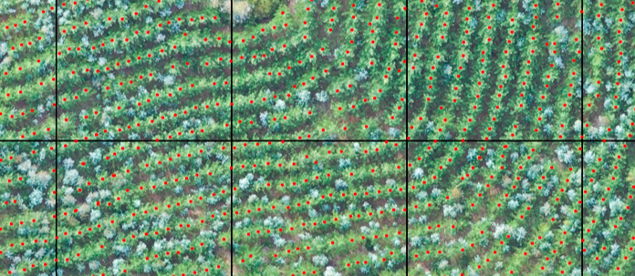
While completing my graduate research thesis, my advisor invited me to participate in a project for ARAUCO Company, focused on counting and segmenting trees using georeferenced high-resolution drone images. The project quickly yielded satisfactory results, leading to a service contract that helped establish what would eventually become CDIA.
Services
Strategic Solutions
Development of customized projects that respond to specific industry needs.
- Geospatial image analysis using AI models
- Predictive maintenance systems
- Processing of massive data streams for real-time catalog generation
- Integration of heterogeneous data and AI incorporation
- Data visualization software
Expert Guidance
Consulting services for complex problems related to data handling and treatment.
- Artificial Intelligence implementation
- Cybersecurity
- Database design and optimization
- Cloud computing
- Visualization
- Optimization
Advanced Training
Development of new skills and technical training in data manipulation best practices.
- Master's degree in Data Science for Innovation
- Diploma in Data Science
- Diploma in Advanced Data Science
- Diploma in Artificial Intelligence
- Customized training based on client requirements
Deep-Hub
One of our most successful technology transfer projects was developed with ARAUCO, one of South America's largest forestry companies. The wood industry is a critical economic sector in Chile, representing approximately one-sixth of the country's total exports.
For this sector, information about tree count in a field is essential for estimating productivity, evaluating plantation density, and detecting errors during the seedling process. Our solution, DeepHub, is a software platform that uses cloud infrastructure and deep learning algorithms for labeling, training, and predicting statistics using high-dimensional RGB georeferenced images from high-resolution drone cameras.
Deep-Hub evolved to became a spin-off of the School of Engineering at University of Concepcion, helping local industries in natural resource monitoring and tracking.
Learn More About Deep-HubOur Team
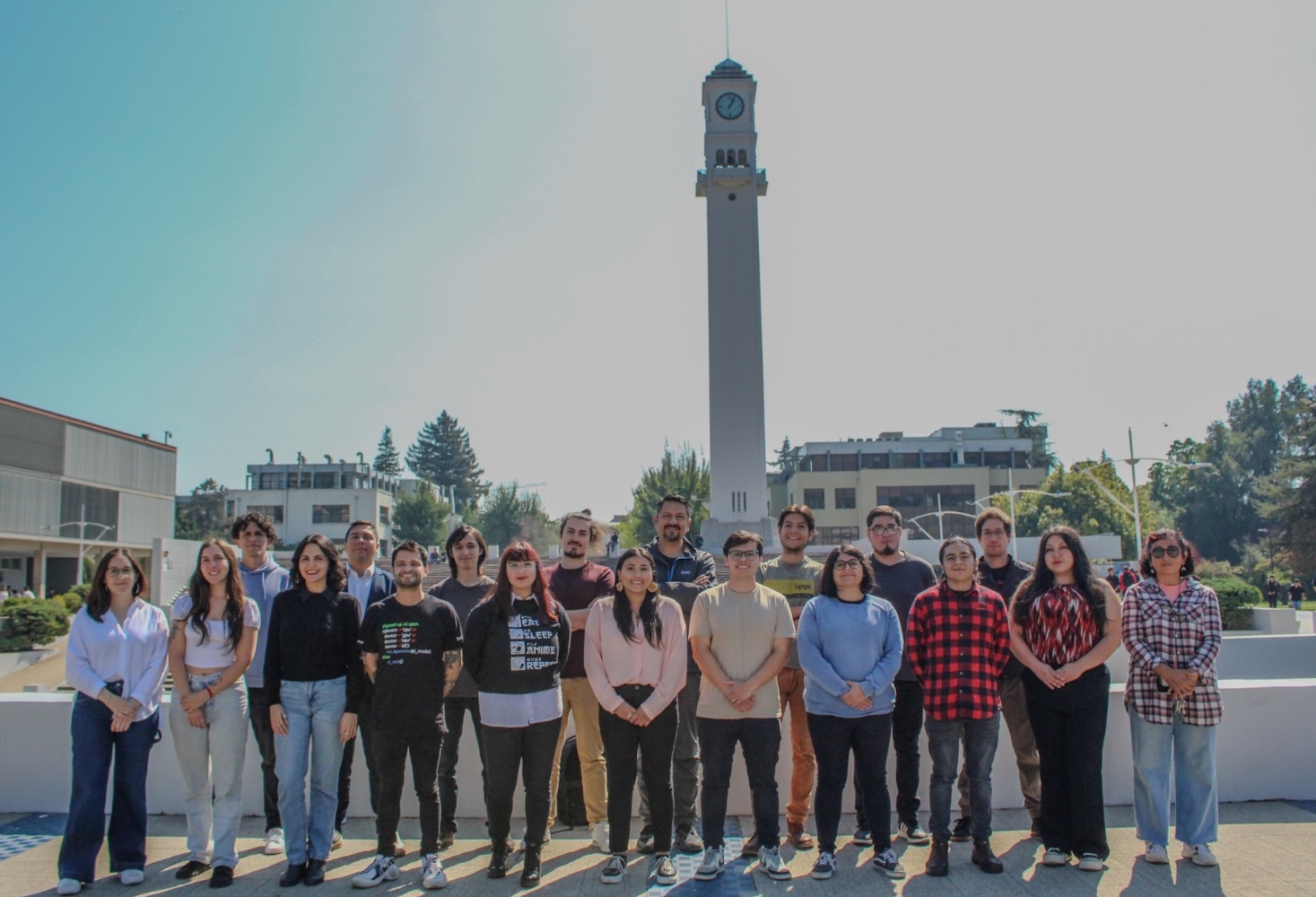
CDIA is powered by a diverse team of professionals with different areas of specialization:
- 20-25 professionals with expertise in machine learning, data science, and software development
- Support from over 15 professors in fields such as sensorization, data analysis, software engineering, artificial intelligence, simulation, and operations research
This interdisciplinary approach allows us to tackle complex problems from multiple perspectives and develop innovative solutions for our clients.


